
By Priyanka Sharma
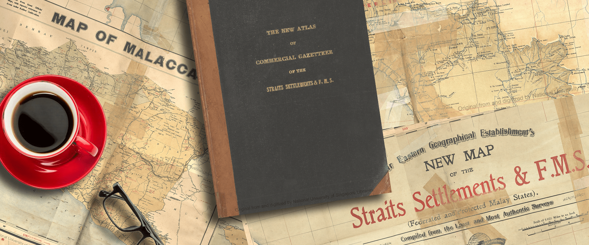
The New Atlas of Commercial Gazetteer of the Straits Settlements & Federated Malay States, published in 1917, offers a comprehensive exploration of British Malaya’s history, resources, and economic evolution. Compiled over several years, this volume serves as a unique and detailed commercial representation of the region.
The volume includes chapters focusing on the key economic industries of the region – rubber, coconut, and mining are discussed in detail. A significant amount of statistical data offers insights into the commercial activity and the infrastructural development of the region. Examples include trade (export and import), land administration (rent, land use) population (ethnic composition, public health), meteorological (rainfall, temperature) communications (roads, railways) and merchant vessel traffic data.
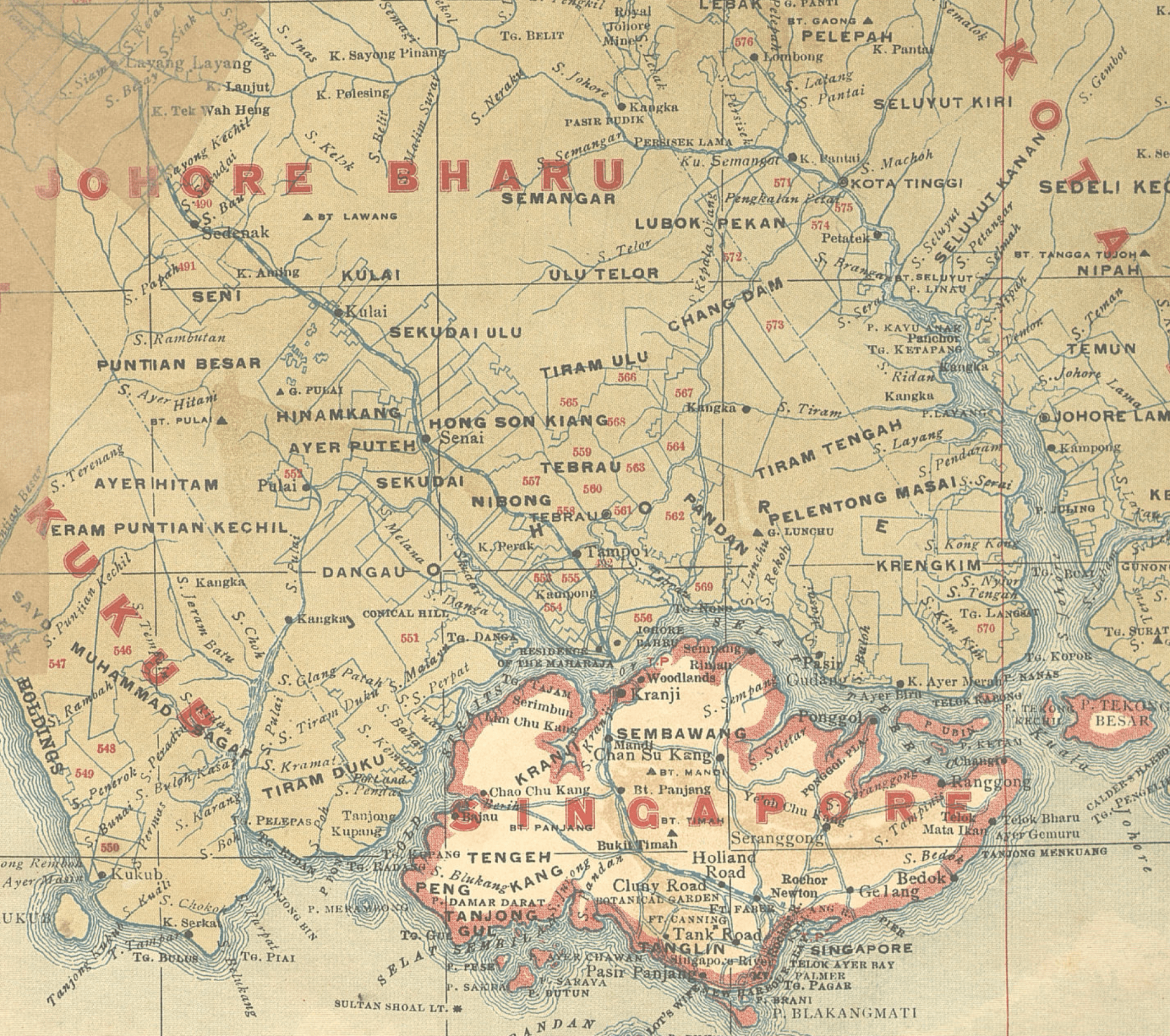
Crafted by skilled artisans in Shanghai, the publication includes a six-section map containing the latest information. Interestingly, the publishers offered as an optional add-on a version of the six-section map that could be wall-mounted into one wall map.
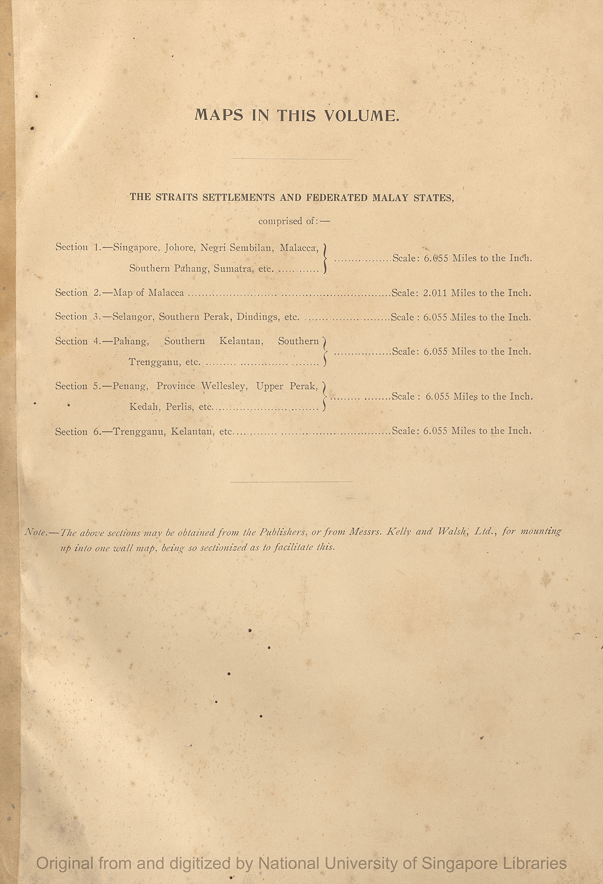
Overview of the six sections and publisher’s note on how to obtain the sections for mounting into one wall map
Despite potential imperfections attributed to wartime constraints, this pioneering work by the Far Eastern Geographical Establishment offers invaluable insights into the general economic and commercial developments in the region, and includes the very first geographical indexing of the Peninsula.